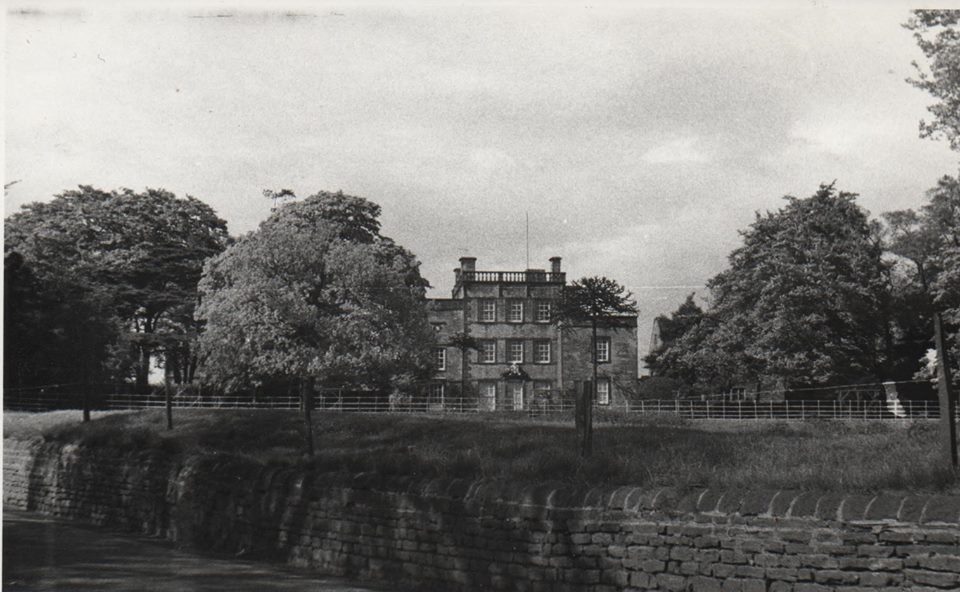
Mosborough’s Eckington Hall was probably completed in the autumn of 1871. We know this because of an advertisement in a local newspaper by Joseph Appleyard of Conisbrough, “makers of fine Hall, Dining Room, Drawing Room and Bedroom Suites for the new residence of Mr Joseph Wells at Eckington Hall”.
Joseph Wells (1816-1873), the son of George Wells (1773-1844), coal master and farmer of Eckington and his wife Jane (formerly Hazlehurst, 1789-1850), was born at Eckington on 3rd October 1816. Local historian George Foster gives an account of Joseph Wells in his “Reminiscences of Mosborough During the Present Century”, published in 1886.
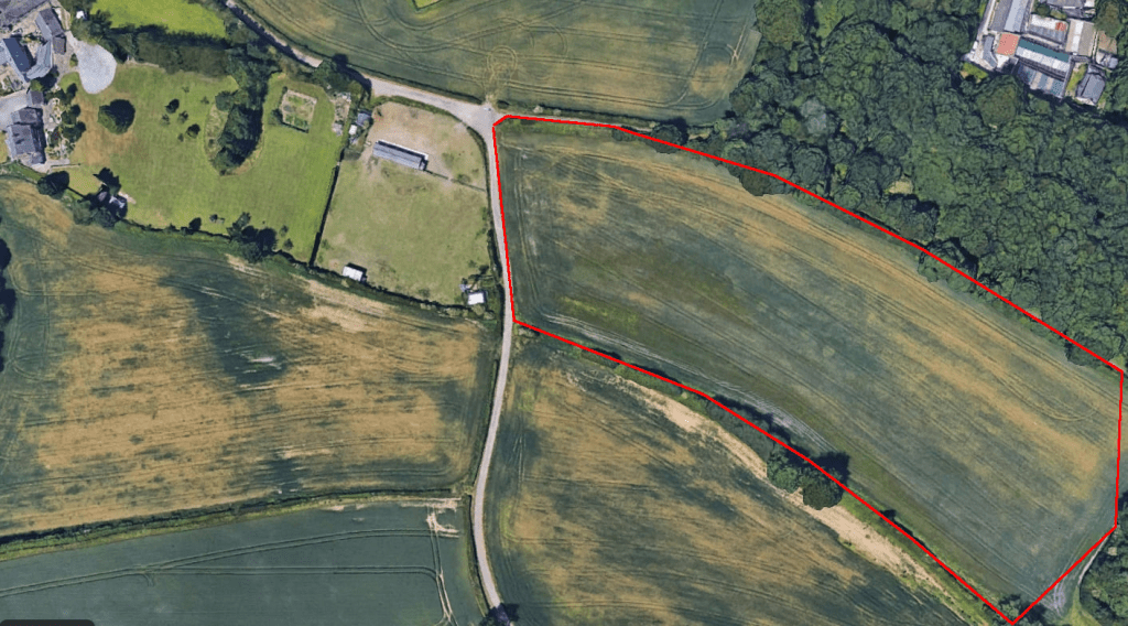
According to Foster, “He looked in vain for a suitable place in Eckington, so he chose a beautiful site in Mosbro’, and there built it. Thus we have got Eckington Hall at Mosbro’ whether we like the name or not. He lived but a very short time at his new Hall, dying very suddenly on 6th October 1873.” His widow, Mary, occupied the Hall until her death on 15th November 1916.
Their eldest son, Joseph Habershon Wells J.P. (1860-1925), inherited the Hall from his mother and lived there with his younger brother, John Matthew Habershon Wells (1869-1921), a housekeeper, cook, and two housemaids until he died in 1925. He wrote his will on a half sheet of notepaper, leaving the Hall to Sophia Jane Wells (1856-1935), the wife of Joseph’s brother William Edward Wells, who took over the ownership of Eckington Hall on Joseph’s death. She lived at Elmwood Hall, a neighbouring property built by her husband until she died in 1935. Meanwhile, Eckington Hall was leased to a succession of tenants, including a Miss Stooke who lived in all or part of the Hall between 1914 and 1934.
Sophia Jane Wells’ executors released the Hall for sale by auction in 1935, and it was purchased by Eckington solicitor and County Councillor Albert Edward Hall (1865 – 1951). He lived there relatively briefly until 1939 when he passed it on to his daughter Marjorie and her husband James Greaves Mudford, a rope and cover manufacturer with premises in Sheffield.
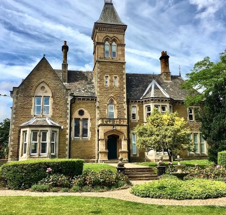
The Hall was acquired around 1992 by Trans-Pennine Breweries, which converted the building into an entertainment venue, hosting weddings, conferences, and medieval banquets in the Chatsworth Restaurant and The Shambles bar. It is now a private residence.